With Eyes in the Sky: Disaster Relief Efforts and Aerial Technologies
Nowadays, when technologies offer unimaginable opportunities even in the most dramatic contexts and distress, one is welcome to employ innovations, such as drones for the sake of human safety and peaceful protection from afar. These might create a healthy foundation to start a trend for innocuous use of other advancements in the spheres never even thought of before, e.g., disaster response in particular.
Although drones were initially designed so as to detect activity from an aerial view, aid in military endeavors, and track phone number free of spatial limitations, they also lend a hand in managing emergencies when there is little room for response and not enough time to find additional ways out. Hence, drones, however controversial they may seem at first, become an essential component of the first-aid kit in the hands of rescuers and other life-saving services.
What Are Drones and How Do They Work?
Unmanned aerial vehicles (UAVs), simply known as drones, are aircraft that operate without a human pilot present in there. Like the majority of everyday tools, drones were developed for military purposes, though they are now used for a wide range of civilian tasks, such as disaster relief and quick emergency response.
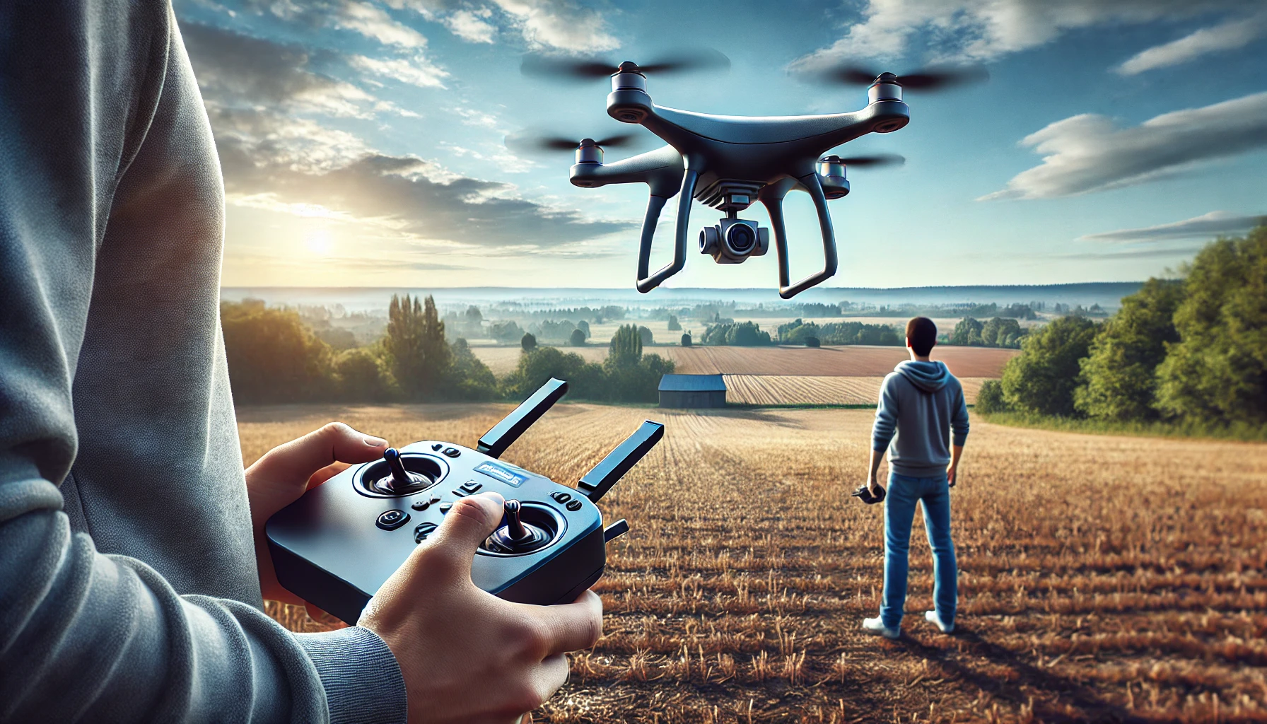
The concepts of aerodynamics and remote-control technologies explain how drones function in real life. The operator initiates the process by sending commands via a computer, mobile device, or remote control, while the drone's control system receives these signals, processes them, and modifies the motors and propellers to produce the intended movement.
As such, drones rely on integrated sensors for basic operations like takeoff, landing, and hovering in order to maintain stability and altitude. The drone's position and orientation are constantly tracked by accelerometers and gyroscopes, which quickly make alterations to keep the vehicle level the way it should be. More sophisticated drones, though, may fly precisely on predetermined routes or automatically avoid obstacles with the use of GPS and other navigation technologies.
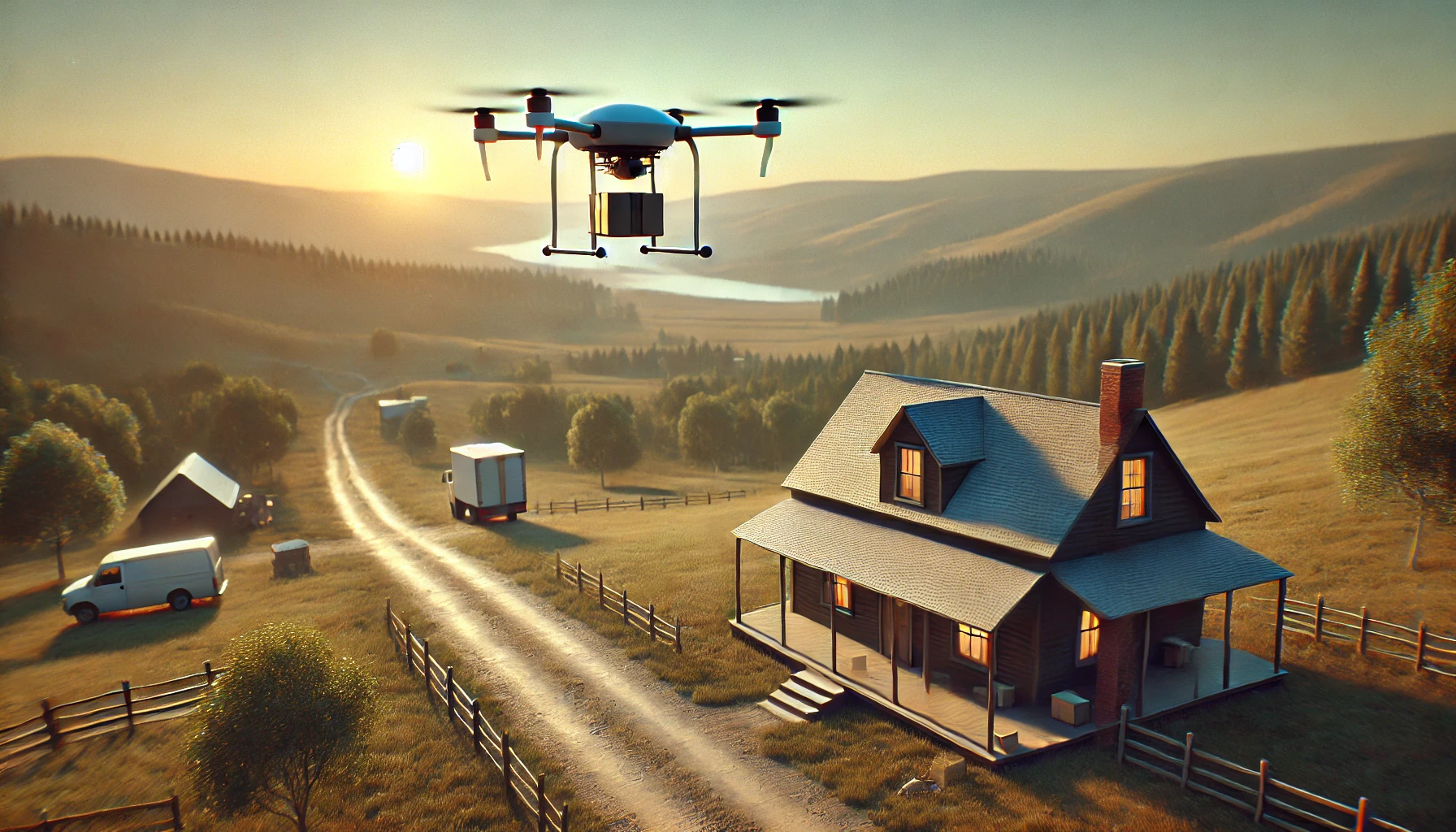
Besides, drones can be configured to perform specialized functions, like aerial surveys, supply delivery, and area mapping, too. These are especially useful in disaster response, for they can swiftly reach locations that are unsafe or difficult for people to access so as to give rescue teams real-time data, find survivors, and coordinate relief efforts via high-resolution cameras, thermal imaging, and other sensors not to mention.
Drones in Search and Rescue
Time is the key when conducting search and rescue operations, which are typically carried out in difficult and unpredictable circumstances. In these instances, drones become overly helpful tools, that may increase efficiency, speed, and safety for good.
The fact that drones can be quickly deployed to cover enormous regions in a short amount of time is one of the most important features of search and rescue operations. The capacity to conduct airborne surveillance is very helpful for locating missing people who might be stuck in isolated or remote locations. Drones with high-resolution cameras, for instance, may cover huge areas of uninhabited regions and take detailed pictures that can be examined to identify signs of human habitation, including movement, clothes, or personal belongings as well.
When conducting rescue missions, drones with thermal imaging cameras come in quite handy, particularly during night operations or in situations with poor visibility. In general, drones can locate people via body heat thanks to thermal cameras, which can detect heat signatures even in dark, occluded areas like deep forests or even when underground.
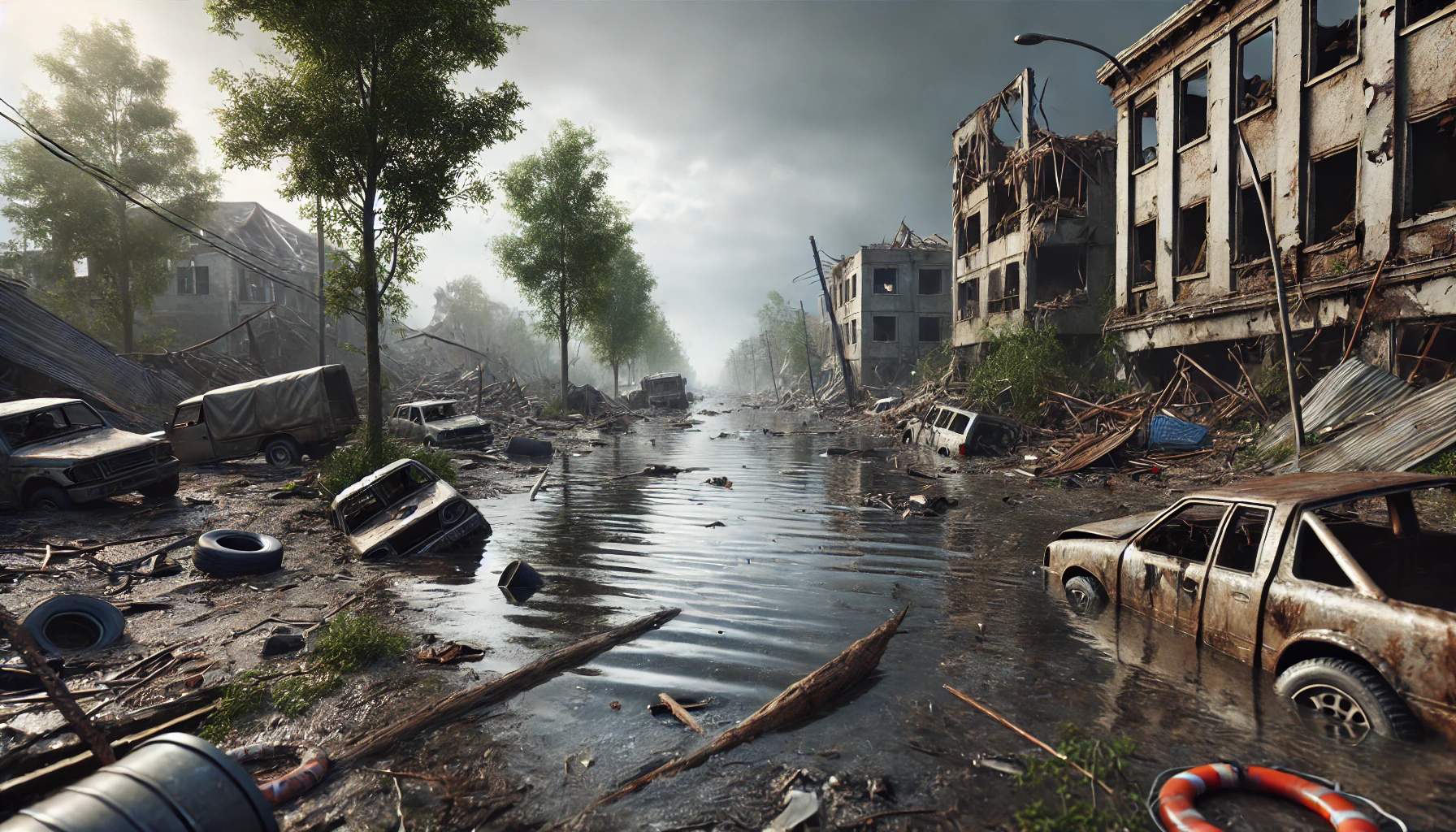
Drones in Post-Disaster Assessment
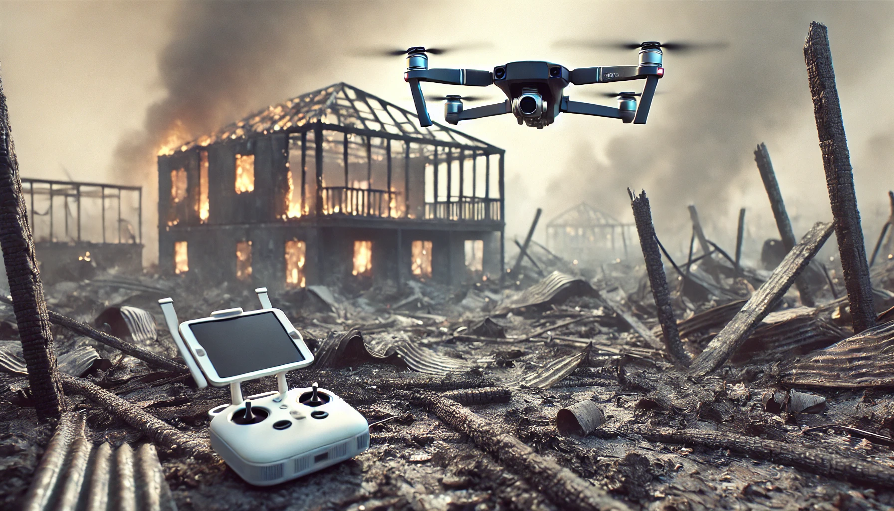
Following a disaster, prompt and precise situation assessment is essential for efficient response and recovery operations. Traditional techniques, such as manned aircraft and ground surveillance, can be quite expensive, time-consuming, and often dangerous. Drones have completely changed post-disaster evaluation because of their capacity to give relevant insights and swiftly access places that are hard or impossible to reach.
Drones' capacity to deliver quick situational awareness is one of their main benefits at times following a disaster. Drones that are equipped with thermal imaging, high-resolution cameras, and additional sensors may quickly and accurately record and take detailed aerial photos and videos of the affected regions to determine the level of destruction, pinpoint important infrastructure breakdowns, and rank areas that require immediate care.
In-depth maps of disaster-affected areas can also be made with the use of drones as they can provide precise 2D and 3D maps, which are necessary for understanding the topography, temperature, humidity, exposure to chemicals or radiation, and structural integrity of the ground. These maps can be used to identify temporary shelter areas, plan safe routes for rescue crews, and choose the most advantageous sites for relief distribution.
Drones in Recovery: Aiding in Rebuilding Efforts
Soon after the tragedy, the emphasis should turn to recovery and reconstruction so as to focus on those who are alive. In this process, drones are considered extremely useful tools due to their special skills, which improve the effectiveness, precision, and security of reconstruction operations. Assessing the harm in-depth is one of the first steps towards recuperation. Drones perform exceptionally well in this domain as they offer instant and exhaustive aerial imagery and data that can be utilized to assess the level of damage.
Not only may the damage be assessed based on this data, but the rebuilding procedure is also planned with the use of it. Drones provide precise maps and 3D models of the impacted areas which help engineers, urban planners, and architects in designing safe and effective rehabilitation projects. Through the simulation of several rebuilding scenarios, these models allow participants to make sound choices regarding the distribution of resources, construction techniques, and schedules.
Moreover, following natural disasters such as hurricanes, wildfires, or floods, the environment often sustains significant harm, and drones can be used to monitor erosion, trace the return of vegetation over time, and evaluate the health of ecosystems. In coastal areas affected by hurricanes, for example, drones can examine shorelines to evaluate erosion, damage to wetlands, and the impact on marine habitats.
With their unmatched capabilities that improve these operations' speed, safety, and efficacy, drones have completely changed the way that disaster response and recovery are carried out. Drones are indeed vital tools in disaster management which may help with anything from search and rescue to damage assessment, rebuilding support, and quick situational awareness in the aftermath. Should we save lives, let us use drones in this peacemaking way only.